
Fair Oaks Neighbors by Block
The immediate Fair Oaks block is a map-and-parcel question before it is a people question. Fairfax County’s address systems can locate a site, show its parcel geometry, and identify nearby parcel numbers and visible addresses. The assessment record can identify an owner of record and tax context. Deeds can explain a shared access area or boundary. These sources are useful for this Fair Oaks task because each one has a defined scope. None is an official roster of every household member or occupant around an address.
| Source | Block detail it can show | Access |
|---|---|---|
| Fairfax County Jade GIS | Parcels, addresses, buildings, lot numbers, nearby PINs, and map relationships | County viewer with search, selection, reports, buffers, and exports |
| Fairfax iCare | Assessment, owner-of-record display, sales, physical characteristics, and tax-map information | County property search; Internet owner display can be withheld |
| Circuit Land Records | Deed, plat, easement, and legal-description references for parcel edges | CPAN, courthouse public computers, clerk, and historic-record routes |
| Virginia election records | A voter’s own status or a statutorily limited public-list product | Citizen Portal or formal voter-list request and inspection route |
| County association list | Community and association contact labels near Fair Oaks | Voluntary county contact list, not membership data |
Owners and occupants are different categories in Fair Oaks records. A county parcel display can identify an owner of record or mailing field, while a visible site address describes the parcel. It does not establish who is currently present at that site. Keep Fair Oaks parcel facts, dated directory entries, association contacts, and public voter-record rules in separate notes.
Fair Oaks Neighbor Map Process
Jade GIS is the county starting point for mapping adjacent Fair Oaks parcels around one anchor address. It supports global address, street, and location search; PIN autocomplete; house number, street name, and type searches; street intersections; subdivisions; and point or rectangle selection. Its Property and Planning layers include parcels, real property, streets, buildings, address numbers, lot numbers, and zoning. Use the parcel layer first, then compare the map relationship to the address numbers shown nearby.
- Enter the anchor Fair Oaks address, PIN, or subdivision. Preserve the county’s exact street spelling and check the address type before selecting a result.
- Turn on the parcel, address-number, and building layers. Use the result table or Zoom to All to see the immediate adjacent parcels rather than assuming a whole street is one block.
- Open the General Parcel Report for the anchor and adjacent PINs. Record parcel location, deed-book or page references, and tax or structure context only as needed to resolve the boundary.
- Use a buffer or selection export only as a working map list. Compare the parcel geometry with iCare and recorded instruments before treating an apparent shared edge as a legal fact.
This process moves from one Fair Oaks site to adjacent parcel relationships, then to owner-of-record context. For a complete named-street chain rather than the immediate Fair Oaks block, use the Fair Oaks street directory. A Jade GIS export is not a legal survey, a title opinion, or proof of occupancy.
Note: Condominium and overlapping parcels can produce a pick list, so select the correct parcel report before comparing an adjacent Fair Oaks record.
Fair Oaks Neighbor Parcel Checks
Once Jade supplies nearby PINs, a Fair Oaks neighbor search can use iCare to compare current tax and assessment context, then use deed references to explain what the map cannot. Jade’s General Parcel Report can include property owner, assessment, structure, land use, zoning, deed-book or page references, and parcel location. iCare supports address, map-number, and map-search modes, and its data is updated twice weekly. Assessment values are as of January 1. Those fields describe the county’s assessment record, not a guarantee of title or a current household list.
Boundary questions often turn on easements, plats, and legal descriptions. Fairfax County warns that GIS easement data is incomplete. A map line is not the legal easement instrument. Follow a parcel report’s deed-book or page reference into CPAN, deed books, or the Land Records counter to inspect the recorded scope, instrument, grantor, grantee, and any release. Historic original deed books and older materials can also require the Historic Records Center.
For a Fair Oaks parcel comparison, avoid turning a shared driveway, nearby building, or postal label into a relationship claim. A parcel can be commercial, multi-unit, or subject to overlapping ownership records. The county’s Master Address Repository, iCare, Jade, and a current deed form the address-verification chain. They are stronger together than a single map label, but their combined use still does not establish who occupies a parcel.
Fair Oaks Community Block Records
The county’s community association resource can help identify the subdivision name associated with a Fair Oaks address. Its voluntary contact list includes Fair Chase HOA, Fair Oaks Farms, Fair Oaks Glen HOA, Fair Oaks Green HOA, Fair Oaks Hill HOA, Fair Oaks Hunt HOA, Fair Oaks Landing HOA, Fair Lakes HOA, and Fair Lakes Condo. These labels can be cross-checked against a parcel subdivision, a directory section, or a map. The list does not identify association members, household composition, or current occupants.
The county association page groups association categories and explains its voluntary-contact limitation.
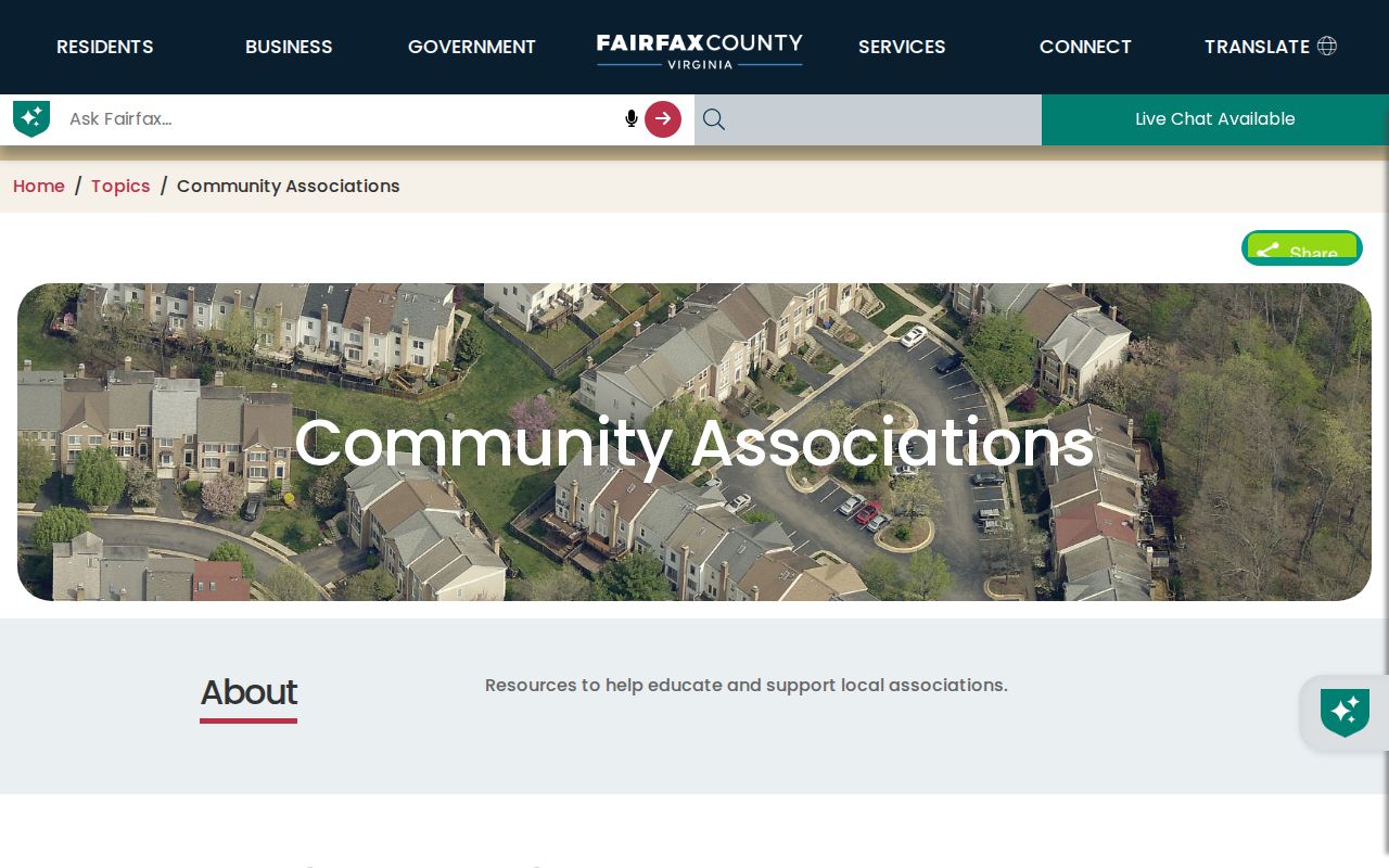
Use a Fair Oaks association contact as a community label or a route to an association’s own public contact, then confirm scope with the county parcel or map record. A current association contact can change, so check the county listing and the association’s official contact separately when that distinction matters.
| Fair Oaks-area label | What the county resource can support | What it cannot support |
|---|---|---|
| Fair Oaks Farms, Glen, Green, Hill, Hunt, or Landing | A community or association name to test against a subdivision or map record | A list of members or a current residence claim |
| Fair Chase or Fair Lakes | A nearby community-contact label for further official map or parcel checking | Proof that a Fair Oaks address falls within a particular association |
| County association category | A voluntary contact-list context | An official endorsement, roster, or boundary survey |
Note: A county association contact is a community clue, so verify its scope with a Fair Oaks parcel or map record.
Fair Oaks Voter Record Boundaries
A voter may use the Virginia Citizen Portal for personal registration status and permitted changes. That is not a general Fair Oaks name search. The separate public-list route uses the Virginia Voter List Request Form and asks for a requester category, product, contact details, data filters, locality or district, and election or date details. A request should use only geography the product supports, such as Fairfax County, a precinct, locality, election district, or other listed filter.
Virginia Code §24.2-444 describes a limited public-list field set, including name, address, year of birth, gender, and election districts, while protecting other components and protected residences. The Fairfax Office of Elections provides counter, phone, email, formal-request, and statutory inspection routes. Record whether a Fair Oaks result came from self-service, a formal list order, or an inspection. Do not seek to infer a protected voter address from a nearby public field.
| Official Fair Oaks record route | Commercial neighbor-search category |
|---|---|
| Shows custodian, record type, scope, source date, and request limits. | May combine old addresses and other data without explaining the original record’s date or scope. |
| Lets a researcher verify a parcel, voter product, or deed with the responsible office. | Can be a starting clue, but does not replace an official Fair Oaks record or its restrictions. |
For a Fair Oaks block query, the official route is more useful because it shows what the record actually represents. It also preserves the stop points that commercial categories can blur, including protected addresses, incomplete records, and a county boundary that differs from a familiar postal or service label.
Fair Oaks Block Records: 37 Square Miles
Fair Oaks addresses can appear under more than one official geography. The Fair Oaks Police District covers 37 square miles, from Dulles Airport east toward Vienna and from Lawyers Road south to Braddock Road, and includes the county Government Center and Fair Oaks Mall. That is police-service geography, not the Census CDP boundary, a parcel boundary, a voting precinct, or proof that two Fair Oaks addresses share a block. A postal address using Fair Oaks language can also sit in a different geographic category.
My Neighborhood adds address-based service context, such as officials, precinct, facilities, nearby libraries, post offices, hospitals, and parks. It is useful for checking how Fairfax County classifies one address. Service proximity does not establish a neighbor relationship, current occupancy, association membership, or Fair Oaks CDP membership. Keep the parcel result and the service result as distinct Fair Oaks records.
This 37-square-mile figure is useful context for a Fair Oaks block search because it shows why an agency label cannot replace parcel geometry. Check the anchor address in MAR or Jade, then compare the official parcel and address layers before drawing an immediate-neighbor conclusion.
Fair Oaks Historical Block Records
Earlier Fair Oaks neighbors require a different question: who was named in a dated record near an address or community label? The Virginia Room holds Fair Oaks-inclusive community directories, telephone books, maps, newspapers, microform, yearbooks, and a designated CPAN station. Criss-cross and address-oriented directories can place a printed name at an address for a particular edition, but geographic coverage and omitted listings must be recorded. They are historical snapshots, not proof of a current Fair Oaks household.
The Fairfax Court Slavery Index is another historical person-record source. Its recorded fields can include names, relationships, trades, values, citations, and dates.
The index can support carefully dated Fairfax historical research, but it must never be converted into a current Fair Oaks neighbors list. Preserve the citation, record date, relationship field, and the source’s historic setting. The Fairfax Historic Records Center also warns that Civil War losses created gaps, so a missing historic name is not proof that a household was absent.
Fair Oaks also sits within a 37-square-mile police-service district, which includes landmarks beyond the Census CDP. That number describes service geography, not a Fair Oaks block boundary. Use My Neighborhood for address-based service context, but do not treat nearby facilities, a police district, or a postal ZIP as proof that two parcels are neighbors.
Fair Oaks Neighbor Lookup Boundaries
Privacy rules define the end of a Fair Oaks neighbor lookup. Virginia’s Address Confidentiality Program gives eligible participants a designated address for public and government transactions. The actual address is limited to authorized program, law-enforcement, or court-order uses, and participant-identifying records are exempt from VFOIA. Protected voter residences, sealed court files, restricted vital records, juvenile materials, and inmate-account information also remain outside a proper block search.
The Fairfax Adult Detention Center FAQ is a useful example of a direct official contact route and its limits. It does not offer a public roster for identifying Fair Oaks neighbors.
For a defined detention question, the Sheriff’s official FAQ gives a phone path for inmate information. It does not make a phone response a public block record, and it should never be republished as one. A missing result, protected record, or official boundary is a valid Fair Oaks research outcome.
Lawful use. Use Fair Oaks neighbors records only for a defined, lawful personal purpose. Do not use parcel, association, voter, or historical information to watch, stalk, harass, pressure, or intimidate anyone.
Note: Preserve the source date, parcel or case identifier, and access limit with each Fair Oaks block result before relying on it.