
Fair Oaks ZIP Code Coverage
The documented Fair Oaks ZIP code picture has two official postal examples, not a complete CDP-to-ZIP polygon. Fairfax County map material lists 22030 and 22033 in the county area. The county's research does not establish the exact portion of the Fair Oaks CDP contained in either delivery area. That limit belongs in every Fair Oaks search note, because a postal city, police district, shopping-center name, planning area, and Census place can overlap without being the same geography.
| ZIP | Areas | Post Office | Notes |
|---|---|---|---|
| 22033 | Fair Oaks and central Fairfax postal examples | Not identified in research; confirm with USPS | Used by official Fair Oaks Police District and Fair Oaks Shopping Center examples |
| 22030 | Fairfax and City of Fairfax western or southern postal examples | Not identified in research; confirm with USPS | Used by the official Brightview Fair Oaks parcel example |
Neither row says every Fair Oaks address belongs to that delivery area. The evidence supports address examples only. A Fair Oaks search should keep one field for postal address and ZIP, then a second field for Census or local-government geography. That division makes a later record trail easier to audit.
Fair Oaks CDP ZIP Geography
Fair Oaks is a Census-designated place, not an incorporated city. Census material identifies Fair Oaks with GEOID/FIPS 5126875 and reports a 2020 population of 34,052, 4.99 square miles of land area, and density of 6,821.3 people per square mile. Those figures describe the CDP. They are not postal-area population figures and should not be used to divide residents between 22030 and 22033.
The difference is practical. A Fair Oaks postal address can be in Fairfax County, while a nearby address can fall in the independent City of Fairfax or another jurisdiction. The Fair Oaks Police District is a 37-square-mile service area that includes landmarks such as the Government Center and Fair Oaks Mall, but it is not the CDP boundary. A Fair Oaks delivery result is therefore one part of an address check, not the final jurisdiction label.
Fair Oaks 22033 Examples
Official sources give two useful Fair Oaks examples for 22033. The Fair Oaks Police District station uses 12300 US 50/Lee Jackson Memorial Highway, Fairfax, Virginia 22033. A Fairfax parcel report identifies Fair Oaks Shopping Center as 11963U Fair Oaks Shopping Ctr, Fairfax, Virginia 22033. These examples connect 22033 to recognizable Fair Oaks names, but they do not draw the edge of a Fair Oaks postal area or prove the CDP membership of every address using it.
For a Fair Oaks address, start with the official delivery result and then compare the county's address record. The county Master Address Repository, known as MAR, accepts address, parcel, and street searches and includes a ZIP filter. It also preserves created, expired, and status information that can clarify an older printed address.
The Fairfax County MAR address search is the source for the county address fields and ZIP filter.
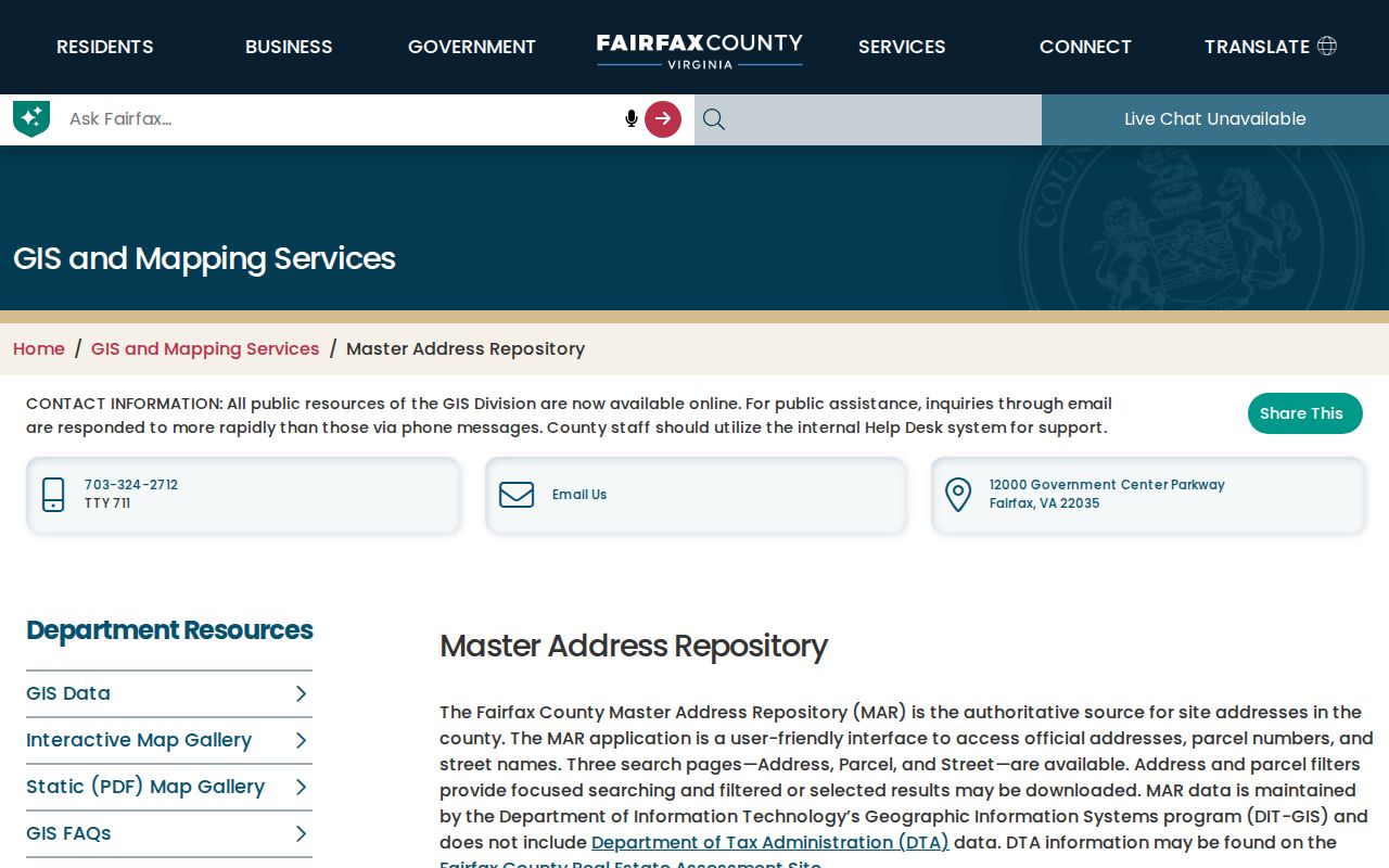
The MAR form gives Fair Oaks research a place to preserve the official street spelling, ZIP value, parcel context, and historical address status.
Fair Oaks 22030 Example
Fair Oaks branding also appears with 22030. Fairfax County's official parcel report for Brightview Fair Oaks gives 12725 Route 29, Fairfax, Virginia 22030 and PIN 0554 01 0031A. This is a clear Fair Oaks-branded example, not a statement that 22030 is the postal code for the whole Fair Oaks CDP. The parcel is a property record with its own purpose, and a project name does not settle a Census or postal boundary.
Use the exact site address first. Then retain the returned postal city and delivery ZIP, look for the parcel or PIN in county tools, and note whether the address falls within Fairfax County's available systems. Fairfax MAR excludes the independent jurisdictions listed on its page, which is another reason to confirm the jurisdiction before carrying a Fair Oaks result into a county record search.
Note: A Fair Oaks name on a parcel or building is evidence of a label, not proof of a ZIP or CDP boundary.
Fair Oaks ZIP Map Check
The Fairfax County ZIP interactive map is a useful visual cross-check for Fair Oaks work. It can search an address, place, or ZIP, let the user select a feature, clear a selection, and save a selected set or all data. The county says its ZIP layer uses Integrated Parcel Lifecycle System data from 2025. That makes the map a county visualization tool, not a USPS legal-boundary product and not a parcel-level CDP overlay.
The county's official ZIP map PDF gives broader 22030 and 22033 context, but it should not be used to adjudicate a Fair Oaks CDP edge. Likewise, county contact-map figures for these ZIPs are service-contact counts, not a Fair Oaks population total. Keep the Census CDP statistics separate from any ZIP layer display.
The interactive ZIP map is the source for the address, place, ZIP, selection, and export controls.
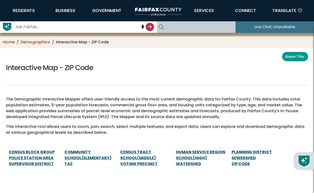
A Fair Oaks map selection can support visual comparison, while USPS and address records still answer the address-specific postal question.
Fair Oaks ZIP Code Search
A ZIP code directory does not create an unrestricted list of Fair Oaks residents. It can, however, narrow an address-based record search and help separate a postal question from a geographic one. The safest Fair Oaks workflow uses USPS for delivery, MAR for the authoritative county site-address record, Jade or iCare for parcel context, and Census material for the CDP label. Each source answers a distinct question.
- Enter the complete Fair Oaks address in the USPS ZIP Code Lookup and retain the returned postal address and delivery ZIP.
- Search the address in MAR. Record the official street spelling, ZIP, parcel identifier if present, subdivision, and current or historical status.
- Use the county ZIP map to visualize the ZIP layer, search by address, place, or ZIP, and save a selection only as a research aid.
- Check Jade or iCare with the address or parcel context when a Fair Oaks parcel, assessment, or map question remains.
- Compare the result with Census CDP boundary context and note the county or independent-city jurisdiction before relying on a Fair Oaks label.
Once a Fair Oaks ZIP code has narrowed the area, use the Fair Oaks street directory for the separate street-by-street record trail. A ZIP filter does not replace an exact address or parcel match.
Fair Oaks MAR ZIP Fields
MAR is the ZIP-capable county tool described in the research. Its fields support a Fair Oaks address check without pretending that a property portal is a directory of occupants. The status and date fields are especially useful when an older Fair Oaks directory prints a form that no longer matches the current address format.
| Field label | Type | Required | Options or format notes |
|---|---|---|---|
| Address | Search | Not stated | Address query with number, street name, and street type context. |
| Street | Search | Not stated | Road-based query for a Fair Oaks street question. |
| ZIP | Filter | Not stated | Postal-area narrowing. |
| Parcel ID | Search | Not stated | Use when a PIN or parcel reference is already known. |
| Subdivision | Filter | Not stated | Can reconcile a Fair Oaks community label. |
| Created and expired dates | Date filters | Not stated | Useful for older address research. |
| Status | Filter | Not stated | Current, historical, or all address-record context. |
MAR also provides filtered and selected downloads. A Fair Oaks research note should state which values were entered, the source date, result status, and whether the result is an official site address or a historical one. The county's maps page noted a MAR update on July 31, 2026, so address systems should be treated as maintained records rather than static atlases.
Fair Oaks ZIP Mismatch Rules
Fair Oaks postal boundaries do not automatically match the Fair Oaks CDP, Fairfax County, a police district, a voting precinct, a subdivision, or a tax-map grid. The same caution applies to a postal city of Fairfax, which does not by itself prove City of Fairfax jurisdiction. Document the mismatch rather than drawing a new boundary. The research found no Fair Oaks-specific ZIP realignment history, no complete parcel-to-CDP-to-ZIP overlay, and no basis to assign every Fair Oaks address to either 22030 or 22033.
- ZIP code
- A USPS delivery geography. It can cross or fail to match local government and Census boundaries.
- ZIP+4
- An added delivery segment used with a base ZIP. It is not a local-government boundary.
- PO-box ZIP
- A ZIP associated with post-office box delivery. Research did not establish one as a Fair Oaks CDP category.
- Unique ZIP
- A ZIP assigned for a single organization or high-volume recipient. Research did not establish one for Fair Oaks.
- Carrier route
- A delivery route grouping. It can aid mail handling but does not define the Fair Oaks CDP.
Fair Oaks ZIP Evidence Log
For each Fair Oaks address, save the address exactly as entered, USPS result, MAR source date, parcel or PIN, selected ZIP layer result, Census CDP context, and county or independent-city jurisdiction. Add the source's publication or update date. If a Fair Oaks name appears on a landmark, parcel, police-service page, or directory, record the source class with it. A police station gives service geography, a parcel report gives tax and location fields, and a directory gives publication scope.
That compact log keeps one useful Fair Oaks search from drifting into an unsupported map claim. It also makes it easier to recognize the real reason for a mismatch: a postal route, an old directory label, a boundary between county and independent city systems, or a historical address that needs a MAR status check.
The USPS ZIP Code Lookup is the address-specific delivery route used in this workflow.
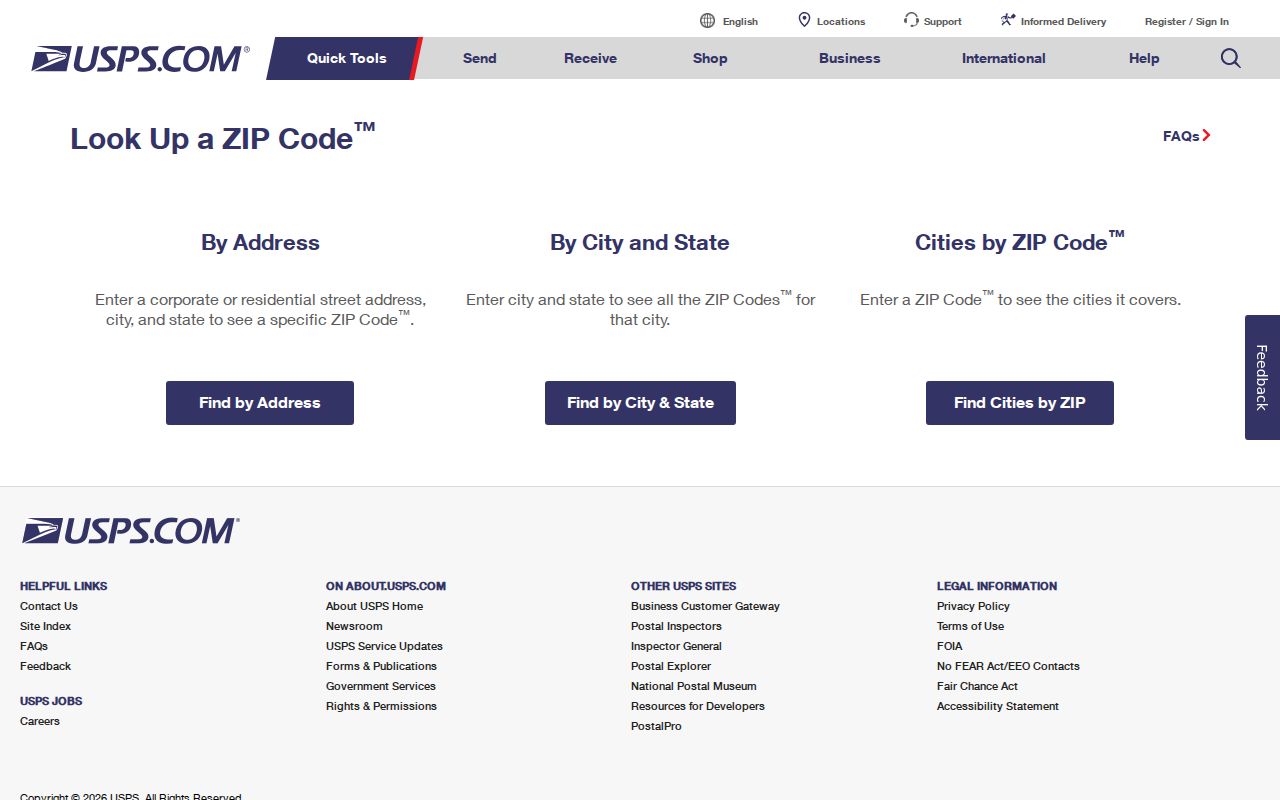
USPS lookup confirms a delivery ZIP for one Fair Oaks address, while county and Census sources establish the separate geographic context.