
Walk a Fair Oaks Street by Address
A street-by-street search begins with the official spelling of one Fair Oaks site address, not a person name. Check the number, street name, type, unit, postal city, and ZIP in the Fairfax Master Address Repository, known as MAR. Then compare the address with the Department of Tax Administration iCare property record and the Jade map position. These tools answer related but different questions. MAR manages address-system information, iCare displays assessment and property data, and Jade places the address among parcels, buildings, streets, and other map layers.
That sequence makes a Fair Oaks street-level record trail more dependable. A parcel report can supply a PIN and deed-book or page references. The recorded land record can then be checked through the Circuit Court Clerk’s index, CPAN, courthouse public computers, or the Historic Records Center when the date requires it. A dated reverse directory may add household evidence, but it must be treated as evidence for that edition only. Voter information has its own statutory product and request limits, so it is not a general street roster.
- Enter the complete address in Fair Oaks MAR, preserving the returned street type, unit, ZIP, status, and any created or expired date.
- Run the same address through Fair Oaks iCare to note the PIN, site address, assessment display, ownership field if shown, and mailing field.
- Use Jade GIS to compare the parcel, address numbers, buildings, lot numbers, and nearby street geometry. Record whether a condominium or overlapping parcel choice appears.
- Open the parcel report and carry its deed-book or page references to the Circuit Clerk’s land-record route. The instrument, legal description, and same-parcel wording are stronger title evidence than a tax display.
- For a dated name-at-address question, check a permitted voter product or a criss-cross directory and log its exact edition, geography, page, and omissions before connecting it to the Fair Oaks address.
Note: A street spelling can be correct in one source and still have a different historic or postal form elsewhere.
Fair Oaks Address Search Fields
iCare is Fairfax County’s assessment and property-search tool for Fair Oaks records. Its address form places Number, Unit#, Street, and Suffix in that order. The county advises leaving the suffix blank for the broadest result set and using an asterisk for street-name variants. The live form also displayed sort and results-per-page controls, along with a maintenance-unavailable notice on September 2, 2026. Treat a maintenance message as a service condition, not proof that a Fair Oaks address has no record.
| iCare field or control | Input | Requirement shown | Fair Oaks street-search use |
|---|---|---|---|
| Number | Address entry | Not stated in the captured form | Enter the house or site number first. |
| Unit# | Address entry | Not stated in the captured form | Keep a unit separate when the address has one. |
| Street | Address entry | Not stated in the captured form | Use the official spelling; * can broaden a name-variant search. |
| Suffix | Address field | Not stated in the captured form | Leave blank for broader results, then narrow if needed. |
| Sort and results per page | Result controls | Available after search | Keep the result order and count in the research log. |
iCare has address, map-number, and map-search modes. Its public display can include ownership, sale dates and prices, assessed values, physical characteristics, tax-map information, and property details. The data is updated twice weekly and assessment values are stated as of January 1. An owner name can be withheld from the public internet record on request. A mailing address, taxpayer, or business entity remains distinct from a current occupant.
The Fairfax land-records research page identifies the clerk’s research access that follows a property-search result.
Land-record research is the next step when the property display supplies a deed reference but not the legal answer.
Jade Layers Along Fair Oaks Streets
Jade turns an address result into a map-based Fair Oaks street view. Its global search accepts an address, street, or location. Address Search uses house number, street name, and a type dropdown or autocomplete. Jade also has Parcel Search with PIN autocomplete, Street Intersection Search using a first and second street, and Subdivision Search. Point and rectangle selection can identify parcels, and the result table can zoom to all results, show map tips, open added details, apply buffers, and export CSV, XLSX, or a zipped shapefile.
The layers give context, not a legal survey. Property and planning layers include Fair Oaks parcels, real property, zoning, streets, buildings, address numbers, lot numbers, and water features. Jade’s General Parcel Report can bring together an owner field, assessment, structures, land use, zoning, deed-book or page references, and parcel location. A pick list may appear for condominium or overlapping parcels. Confirm the selected parcel before treating the report as a match.
The county’s Jade help page documents the search modes, layer controls, reports, buffers, and export functions used to organize an address-led search.
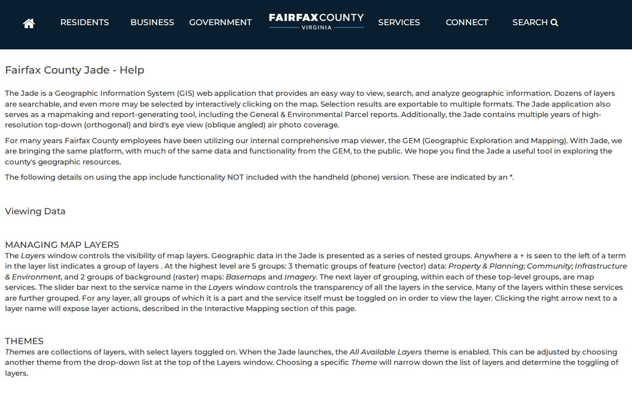
Use the exported table as working research, then return to the deed and plat records for legal scope.
For a single Fair Oaks street, note the street type, alias or historic name, subdivision, nearest cross streets, address dates, ZIP, PIN, and source date. A multi-unit building, commercial parcel, or different mailing address can make otherwise similar rows describe very different record types.
Fair Oaks Address Records by Street
A Fair Oaks address-keyed source should be read as part of a chain, not as a substitute for another source. MAR is the authoritative address-system source and has filters for number, street name and type, city, ZIP, parcel ID, subdivision, created date, expired date, and status. Selected MAR results can be downloaded. iCare connects the address to assessment and tax-map information. Jade adds parcel geometry and layers. The Circuit Clerk and HRC hold the instruments and historic series that explain title and older land references.
| Address-keyed source | Fair Oaks question answered | Custodian or route | Limits to keep with the result |
|---|---|---|---|
| Master Address Repository | How is the Fair Oaks site address spelled and whether it is current or historical? | Fairfax County MAR | An address status does not establish title or occupancy. |
| iCare property record | What Fair Oaks PIN, site address, assessment, and public owner or mailing fields are shown? | Department of Tax Administration | Tax information is not a title opinion or an occupant list. |
| Jade and parcel report | Which Fair Oaks parcel, building, zoning, map layers, and deed references align with the address? | Fairfax GIS | GIS easement information is incomplete. |
| Recorded land record | What Fair Oaks instrument, parties, legal description, plat, or same-parcel recital supports the land trail? | Circuit Clerk, CPAN, public computers, or HRC | Index coverage and image availability vary by book range. |
| Permitted voter or directory evidence | Does a dated, authorized source name a person at that Fair Oaks address? | Virginia elections channels or Virginia Room holdings | Purpose rules, redactions, coverage, and omissions apply. |
A current address can be expired or corrected later. The county described a MAR update on July 31, 2026, so retain the search date and status alongside any Fair Oaks result. When a county record is unavailable online, use the documented alternative: the Circuit Clerk’s public computers and CPAN for land records, the HRC counter or appointment for originals, the Virginia Room for directories and maps, and Library of Virginia microfilm for historic tax material. VFOIA may be a route for existing non-court county administrative or GIS records, but court-public records use the clerk and court channels.
Deeds Along a Fair Oaks Street
A Fair Oaks parcel report’s deed-book and page references are the bridge from a current street result to the land-record trail. Search the grantor and grantee indexes for the recorded instrument, then preserve its date, parties, legal description, acreage, boundary calls, plat references, easements, restrictions, and releases. The phrase “and being the same parcel” often points to an earlier conveyance. Follow each cited instrument rather than stopping at the first change in ownership.
- Parcel
- A mapped unit of land used for assessment and identification. A parcel PIN helps connect an address to county property systems.
- Situs address
- The physical site address of property. It can differ from an owner’s mailing address.
- Plat
- A recorded map that may show lots, boundaries, roads, or easements. It needs to be read with its recorded reference.
- Criss-cross directory
- An address-oriented directory that may list a name under a street address for a particular edition and geography.
Fairfax land-record documents are digitized from 1742 to the present, while index access has important format differences. Some CPAN land-index data begins at book 5391 in 1980; earlier index-book images run from 1742 through 1979 in books A1 through 5390. The clerk’s research room has public computers and CPAN access, but staff explain procedures rather than conduct research. Certified copies at the counter cost $2 per document plus $0.50 per page.
The Fairfax land-records FAQ explains the deed-book, party-index, easement, plat, parcel-ID, and counter-copy routes.
The deed route can confirm a recorded property relationship, while it does not by itself identify every person at a street address.
Fair Oaks Street Postal Labels
Postal labels are useful filters but they do not define the Fair Oaks CDP. Official county material provides Fair Oaks-area examples in both 22033 and 22030. A Fair Oaks Shopping Center report uses a Fairfax, Virginia 22033 postal address, while a Brightview Fair Oaks report at 12725 Route 29 uses Fairfax, Virginia 22030. Those examples show postal variation in Fair Oaks-branded places. They do not draw a ZIP boundary around the Census-designated place.
For a real Fair Oaks address, check USPS ZIP Code Lookup first, then compare the MAR address and ZIP result, the Jade or parcel context, and Census geography if the CDP label matters. Keep postal address and ZIP in a separate field from county, independent-city, police district, voting, planning, or Census information. A postal city of Fairfax does not by itself show City of Fairfax jurisdiction.
Note: The county’s interactive ZIP layer is useful for visualization, but its parcel-lifecycle source is not a USPS legal-boundary decision.
Fair Oaks Street Maps: 444 Tiles
Historical maps can test whether the road name, parcel pattern, or building context changed before a street-directory result was created. Fairfax County’s Digital Map Viewer provides 444 official map tiles and an annual property-map series back to 1960. Compare the selected tile with a current parcel report, then check the deed chain and tax books before drawing a conclusion about a particular property. The map is an evidence layer, not a title record.
The county’s Digital Map Viewer provides tile, address, and tax-grid search with downloadable PDFs.
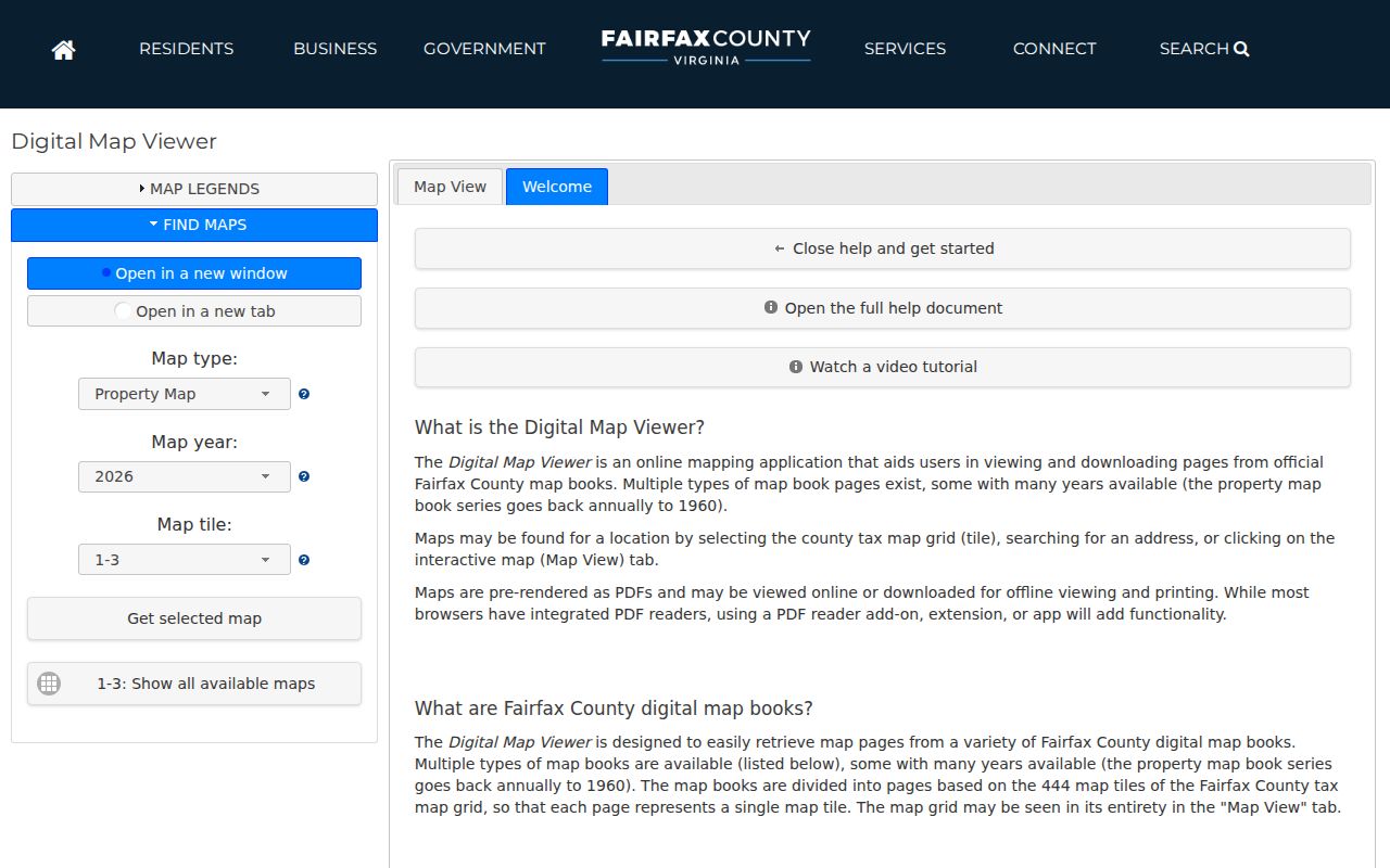
Its annual series helps place a current Fair Oaks street record against the mapped layout available for an earlier year.
The G.M. Hopkins 1879 map names owners, and Sanborn coverage begins around 1885 and continues into the 1960s for applicable places. Neither source creates a continuous ownership record. Fairfax’s 2025 preservation grant of $21,450.60 supports conservation of the 1879 Atlas of Fairfax County and land-tax books from 1892, 1900, and 1910. That work is a reason to check current HRC availability and handling rules before a visit.
The county GIS landing page connects the map services used to reconcile a street, parcel, and historic map reference.
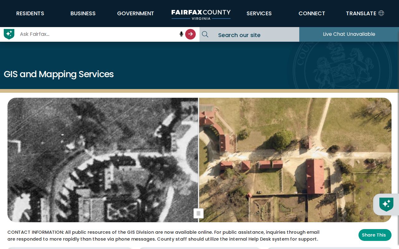
Use that service list to move from a current street address to the correct mapping tool rather than treating one map screen as complete evidence.
Fair Oaks Street Voter Products
Virginia voter records have an authorized access route, not an unrestricted address-by-address lookup. The Virginia Citizen Portal is for a voter’s own registration status and changes. A public product uses the 2025 Voter List Request Form, which asks for a requester category, contact information, product selection, data filters, locality, and election or date details. A request should use Fair Oaks only where the product supports that geography; otherwise the available Fairfax County, locality, precinct, election district, ZIP, or district filter should be stated accurately.
Virginia Code §24.2-444 makes specified public-list fields and maintenance records available while excluding sensitive data and protected residence details. The public list includes name, address, year of birth, gender, and election districts, subject to the law and product rules. The Fairfax Office of Elections can handle the formal request, counter, phone, and email routes. A list result should be logged as an authorized product or inspection, not presented as proof that everyone on a Fair Oaks street lives there now.
Limits on Fair Oaks Street Records
An address-focused Fair Oaks record search cannot turn every address into a current household list. iCare is an ownership and assessment source, not a census of occupants. A parcel owner, taxpayer, mailing recipient, entity, caregiver, guest, or historical directory entry may be a different category of person. Jade can show parcel geometry and address numbers, but recorded easement data is incomplete and a GIS line is not the legal easement instrument. Confirm shared access, lot lines, and easements in plats and recorded documents.
Historic research has gaps as well. Fairfax is a lost-records locality because Civil War destruction, looting, and fire caused missing material. HRC notes missing pre-1865 loose papers and no birth or death recording for 1861 through 1865 and 1897 through 1912. A no-result can reflect a coverage gap, a spelling variation, a portal maintenance state, a boundary mismatch, or a protected record. It is not proof that a residence or person never existed.
Lawful use. Use Fair Oaks address and land records for personal, lawful research such as family, property, or history questions. Do not use any result to stalk, harass, or harm a person.